EY refers to the global organization, and may refer to one or more, of the member firms of Ernst & Young Global Limited, each of which is a separate legal entity. Ernst & Young Global Limited, a UK company limited by guarantee, does not provide services to clients.
How EY can help
-
EY FAAS teams can help address ESG and sustainability issues, investor concerns and improve ESG performance. Find out how.
Read more
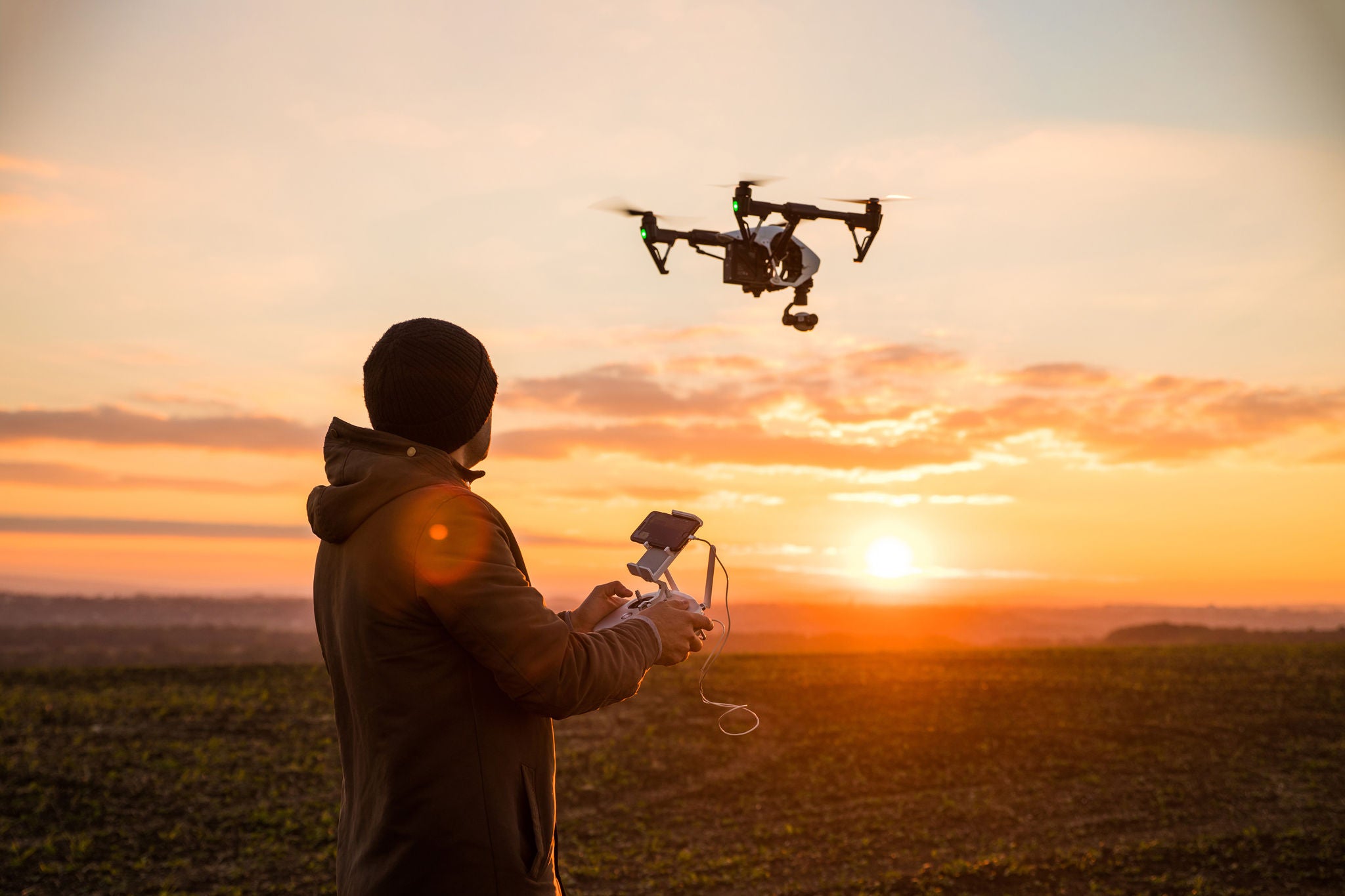
The proliferation of satellites and drones has led to a rise in geospatial data, which typically refers to satellite and aerial imagery, cellphone pings, Internet of Things device data, transponders on ships, and synthetic-aperture radar.
With the help of this data, the A&D industry holds the potential to drive progress across various UN Sustainable Development Goals: for example, in detecting greenhouse gas emissions at manufacturing facilities and supply chains, monitoring for disaster management and helping farmers to maximize crop yield.
A Canada-based satellite company uses its satellites to monitor greenhouse gas emissions from industrial facilities around the world. While space agencies including NASA have been monitoring these gases for years to inform global climate change models, these newer satellites focus on a more granular level to track facilities with much lower emission rates.
Meanwhile, the rise of as-a-service business models can work wonders for players in the field of geospatial analytics, with models ranging from geospatial data-as-a-service to building integrated analysis models and providing recommendations.


